Bagbati | |
|---|---|
Village | |
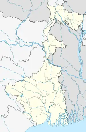 Bagbati Location in West Bengal, India  Bagbati Bagbati (India) | |
| Coordinates: 23°35′36″N 87°42′58″E / 23.593418°N 87.716036°E | |
| Country | |
| State | West Bengal |
| District | Purba Bardhaman |
| • Rank | 1,052 |
| Languages | |
| • Official | Bengali, English |
| Time zone | UTC+5:30 (IST) |
| PIN | 713126 |
| Telephone/STD code | 0342 |
| Lok Sabha constituency | Bardhaman-Durgapur |
| Vidhan Sabha constituency | Ausgram |
| Website | purbabardhaman |
Bagbati is a village located under the Ausgram II Community Development Block of Purba Bardhaman district, in the Indian state of West Bengal. It is located at a distance of 15 km from Guskhara and encompasses a total of 61.8 hectares. It is home to 272 households having a total populations of 1,052 individuals as of 2011.[1][2][3][4]
References
- ↑ "Village Habitation Information". censusindia.gov.in. 2011. Archived from the original on 13 November 2015.
- ↑ District Census Handbook. 1985. p. 162.
- ↑ "2011 Census – Primary Census Abstract Data Tables". West Bengal – District-wise. Registrar General and Census Commissioner, India. Retrieved 26 February 2017.
- ↑ "District Statistical Handbook 2014 Bardhaman". Table 2.2. Department of Statistics and Programme Implementation, Government of West Bengal. Archived from the original on 21 January 2019. Retrieved 25 January 2019.
This article is issued from Wikipedia. The text is licensed under Creative Commons - Attribution - Sharealike. Additional terms may apply for the media files.