Bagnolo Mella | |
|---|---|
| Città di Bagnolo Mella | |
 | |
Location of Bagnolo Mella | |
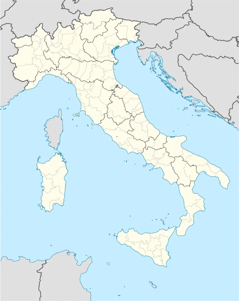 Bagnolo Mella Location of Bagnolo Mella in Italy 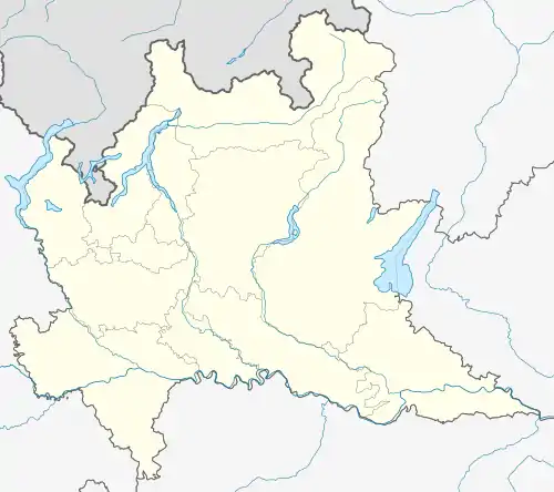 Bagnolo Mella Bagnolo Mella (Lombardy) | |
| Coordinates: 45°26′N 10°11′E / 45.433°N 10.183°E | |
| Country | Italy |
| Region | Lombardy |
| Province | Brescia |
| Frazioni | Capriano del Colle, Dello, Ghedi, Leno, Manerbio, Montirone, Offlaga, Poncarale |
| Area | |
| • Total | 31 km2 (12 sq mi) |
| Elevation | 85 m (279 ft) |
| Population (2011)[2] | |
| • Total | 12,985 |
| • Density | 420/km2 (1,100/sq mi) |
| Demonym | Bagnolesi |
| Time zone | UTC+1 (CET) |
| • Summer (DST) | UTC+2 (CEST) |
| Postal code | 25021 |
| Dialing code | 030 |
| ISTAT code | 017009 |
| Patron saint | Sts. Processo and Martiniano |
| Saint day | 2 July |
| Website | Official website |
Bagnolo Mella (Brescian: Bagnöl) is a comune and town in the province of Brescia, in Lombardy.
History
During the Roman era, Bagnolo Mella (lat. Balneolum) was crossed by the Via Brixiana, a Roman consular road which connected Cremona (lat. Cremona) to Brescia (lat. Brixia), from which Roman roads passed and then branched out towards the entire Cisalpine Gaul.[3]
Transportation
Bagnolo Mella has a railway station on the Brescia–Cremona line.
Twin towns
Bagnolo Mella is twinned with:
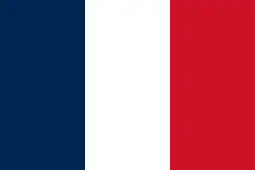 Brie-Comte-Robert, France
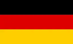 Stadtbergen, Germany
References
- ↑ "Superficie di Comuni Province e Regioni italiane al 9 ottobre 2011". Italian National Institute of Statistics. Retrieved 16 March 2019.
- ↑ ISTAT Archived March 3, 2016, at the Wayback Machine
- ↑ "VIA BRIXIANA".
This article is issued from Wikipedia. The text is licensed under Creative Commons - Attribution - Sharealike. Additional terms may apply for the media files.