Ballée | |
|---|---|
Part of Val-du-Maine | |
Location of Ballée | |
 Ballée 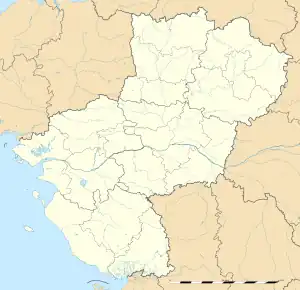 Ballée | |
| Coordinates: 47°56′00″N 0°24′54″W / 47.9333°N 0.415°W | |
| Country | France |
| Region | Pays de la Loire |
| Department | Mayenne |
| Arrondissement | Château-Gontier |
| Canton | Meslay-du-Maine |
| Commune | Val-du-Maine |
| Area 1 | 14.19 km2 (5.48 sq mi) |
| Population (2019)[1] | 697 |
| • Density | 49/km2 (130/sq mi) |
| Time zone | UTC+01:00 (CET) |
| • Summer (DST) | UTC+02:00 (CEST) |
| Postal code | 53340 |
| Elevation | 37–88 m (121–289 ft) |
| 1 French Land Register data, which excludes lakes, ponds, glaciers > 1 km2 (0.386 sq mi or 247 acres) and river estuaries. | |
Ballée (French pronunciation: [bale]) is a former commune in the Mayenne department in northwestern France. On 1 January 2017, it was merged into the new commune Val-du-Maine.[2]
Geography
The Vaige forms part of the commune's western border.
Population
| Year | Pop. | ±% |
|---|---|---|
| 1861 | 1,082 | — |
| 1897 | 840 | −22.4% |
| 1908 | 761 | −9.4% |
| 1962 | 606 | −20.4% |
| 1968 | 624 | +3.0% |
| 1975 | 584 | −6.4% |
| 1982 | 592 | +1.4% |
| 1990 | 586 | −1.0% |
| 1999 | 665 | +13.5% |
| 2007 | 734 | +10.4% |
| 2009 | 729 | −0.7% |
See also
References
- ↑ Téléchargement du fichier d'ensemble des populations légales en 2019, INSEE
- ↑ Arrêté préfectoral 22 July 2016 (in French)
Wikimedia Commons has media related to Ballée.
This article is issued from Wikipedia. The text is licensed under Creative Commons - Attribution - Sharealike. Additional terms may apply for the media files.