| Beaverlodge Lake | |
|---|---|
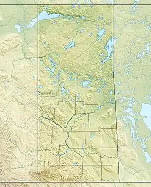 Beaverlodge Lake Location in Saskatchewan 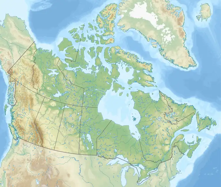 Beaverlodge Lake Beaverlodge Lake (Canada) | |
| Location | Northern Saskatchewan Administration District |
| Coordinates | 59°30′N 108°34′W / 59.500°N 108.567°W |
| Basin countries | Canada |
| Surface area | 4,970.2 ha (12,282 acres)[1] |
| Max. depth | 65.53 m (215.0 ft) |
| Shore length1 | 101.4 km (63.0 mi) |
| Surface elevation | 251 m (823 ft) |
| Islands |
|
| Settlements | Eldorado |
| 1 Shore length is not a well-defined measure. | |
Beaverlodge Lake[2] is a remote lake in northern Saskatchewan, Canada, located south of Uranium City and north of Lake Athabasca. Road access is provided by Highway 962.[3][4]
The former Eldorado town site is on the lake and there has been extensive uranium exploration in the surrounding area.[5]
Islands
A number of islands are located in the lake, including:
See also
References
- ↑ "Beaverlodge Lake". Angler's Atlas. Retrieved 11 October 2023.
- ↑ "Beaverlodge Lake". Canadian Geographical Names Database. Government of Canada. Retrieved 16 June 2023.
- ↑ "Beaverlodge Lake". Geoview.info. Retrieved 11 October 2023.
- ↑ "Beaverlodge Lake Fishing Map". GPS Nautical Charts. Bist LLC. Retrieved 11 October 2023.
- ↑ Assessment of Adandoned Mines 2000
This article is issued from Wikipedia. The text is licensed under Creative Commons - Attribution - Sharealike. Additional terms may apply for the media files.