| Beduhe Dam | |
|---|---|
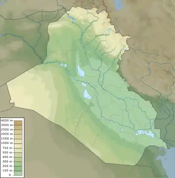 Location of Beduhe Dam in Iraq | |
| Official name | Beduhe Dam |
| Country | Iraq |
| Location | Beduhe, Barwari, Dohuk Province |
| Coordinates | 37°15′48.46″N 43°23′33.05″E / 37.2634611°N 43.3925139°E |
| Status | Under construction |
| Construction began | 2010 |
| Owner(s) | KRG, Ministry of Agriculture and Water Resources |
| Dam and spillways | |
| Type of dam | Embankment, concrete-face rock-fill |
| Height | 35.5 m (116 ft) |
| Height (foundation) | 46.5 |
| Height (thalweg) | 36.5 |
| Length | 240 m (787 ft) |
| Width (crest) | 10 |
| Spillway type | Stepped Spillway |
| Spillway capacity | 171.86 |
| Reservoir | |
| Total capacity | 3,110,000 m3 (2,521 acre⋅ft) |
| Maximum length | 2000 m |
| Maximum width | 400 |
The Beduhe Dam is a concrete-face rock-fill dam currently under construction near Kani Mase in Dohuk Province, Iraq. The foundation stone for the dam was laid on 18 February 2010.[1]
References
- ↑ "Laying the foundation stone for a number of vital projects in the district Amedee" (in Arabic). KRG.org. Retrieved 31 January 2014.
External links
This article is issued from Wikipedia. The text is licensed under Creative Commons - Attribution - Sharealike. Additional terms may apply for the media files.