Bee, Oklahoma | |
|---|---|
 Bee  Bee | |
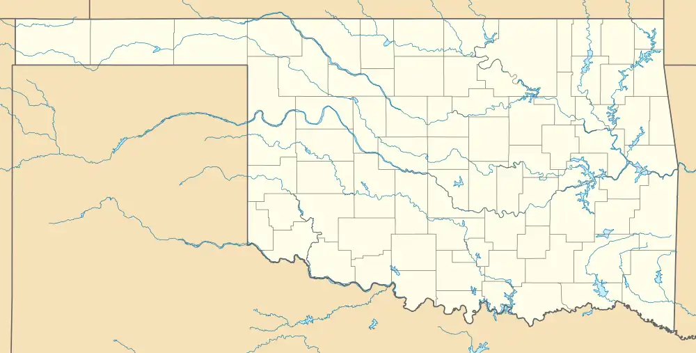
| Coordinates: 34°07′19″N 96°34′07″W / 34.12194°N 96.56861°W | |
| Country | United States |
| State | Oklahoma |
| County | Johnston |
| Area | |
| • Total | 1.31 sq mi (3.39 km2) |
| • Land | 1.30 sq mi (3.37 km2) |
| • Water | 0.01 sq mi (0.02 km2) |
| Elevation | 692 ft (211 m) |
| Population (2020) | |
| • Total | 135 |
| • Density | 103.61/sq mi (40.02/km2) |
| Time zone | UTC-6 (Central (CST)) |
| • Summer (DST) | UTC-5 (CDT) |
| Area codes | 918 & 539 |
| GNIS feature ID | 2629906[2] |
Bee is an unincorporated community and census-designated place in Johnston County, Oklahoma, United States. Its population was 140 as of the 2010 census.[3]
History
The community was intended to be named after Dee Taylor, the daughter of two early settlers; however, the U.S. Post Office Department changed the name to "Bee". Its post office operated from April 5, 1889, until June 15, 1918.[4]
Geography
According to the U.S. Census Bureau, the community has an area of 1.306 square miles (3.38 km2); 1.299 square miles (3.36 km2) of its area is land, and 0.007 square miles (0.018 km2) is water.[3]
Demographics
| Census | Pop. | Note | %± |
|---|---|---|---|
| 2020 | 135 | — | |
| U.S. Decennial Census[5] | |||
References
- ↑ "ArcGIS REST Services Directory". United States Census Bureau. Retrieved September 20, 2022.
- 1 2 U.S. Geological Survey Geographic Names Information System: Bee, Oklahoma
- 1 2 "2010 Census Gazetteer Files - Places: Oklahoma". U.S. Census Bureau. Retrieved March 6, 2017.
- ↑ Shirk, George H. (1974). Oklahoma Place Names (2 ed.). Norman, Oklahoma: University of Oklahoma Press. p. 20. ISBN 0806111402.
- ↑ "Census of Population and Housing". Census.gov. Retrieved June 4, 2016.
Municipalities and communities of Johnston County, Oklahoma, United States | ||
|---|---|---|
| City |  Johnston County map | |
| Towns | ||
| CDPs | ||
| Other communities | ||
| Indian reservations | ||
| Footnotes | ‡This populated place also has portions in an adjacent county or counties | |
This article is issued from Wikipedia. The text is licensed under Creative Commons - Attribution - Sharealike. Additional terms may apply for the media files.