47°05′29″N 59°04′04″E / 47.09139°N 59.06778°E
Begimbet
Бегімбет Бегимбет بەگىمبەت | |
|---|---|
 Begimbet | |
| Coordinates: 47°05′29″N 59°04′04″E / 47.09139°N 59.06778°E | |
| Country | |
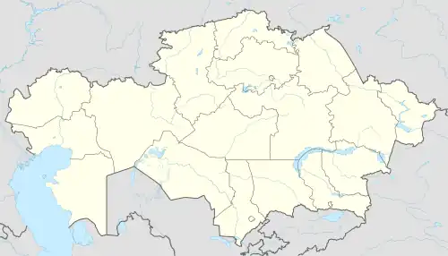
| Region | Aktobe |
| Elevation | 169 m (554 ft) |
| Time zone | UTC+5 (West Kazakhstan Time) |
| • Summer (DST) | UTC+5 (West Kazakhstan Time) |
Begimbet, also known as Sarybulak,[1] (Kazakh: Бегімбет, Begımbet, بەگىمبەت; Russian: Бегимбет, Begimbet) is a town in Aktobe Region, west Kazakhstan. It lies at an altitude of 169 m (554 ft).[1]
Geography
The village is located near the southern end of the Greater Barsuki Desert.[2]
References
- 1 2 "Begimbet, Kazakhstan - P PPL 828499". GeoNames. Retrieved October 4, 2016.
- ↑ Google Earth.
Capital: Aktobe | ||
| Districts | 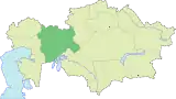 | |
| Major cities | ||
| Towns and villages |
| |
This article is issued from Wikipedia. The text is licensed under Creative Commons - Attribution - Sharealike. Additional terms may apply for the media files.