Bentley, Iowa | |
|---|---|
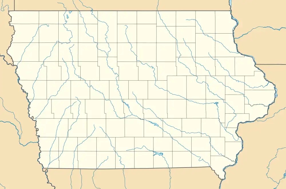 Bentley Location in Iowa | |
| Coordinates: 41°22′36″N 95°37′21″W / 41.37667°N 95.62250°W | |
| Country | United States |
| State | Iowa |
| County | Pottawattamie |
| Township | Norwalk |
| Area | |
| • Total | 1.03 sq mi (2.66 km2) |
| • Land | 1.03 sq mi (2.66 km2) |
| • Water | 0.00 sq mi (0.00 km2) |
| Elevation | 1,263 ft (385 m) |
| Population (2020) | |
| • Total | 93 |
| • Density | 90.56/sq mi (34.98/km2) |
| Time zone | Central (CST) |
| FIPS code | 19-05870 |
| GNIS feature ID | 2583479[2] |
Bentley is a census-designated place[3] located in the eastern portion of Norwalk Township in Pottawattamie County in the state of Iowa, United States. As of the 2010 census the population was 118.[4]
Its location is approximately 4 miles (6 km) east of the city of Underwood.
Demographics
| Census | Pop. | Note | %± |
|---|---|---|---|
| 2020 | 93 | — | |
| U.S. Decennial Census[5] | |||
References
- ↑ "2020 U.S. Gazetteer Files". United States Census Bureau. Retrieved March 16, 2022.
- 1 2 U.S. Geological Survey Geographic Names Information System: Bentley, Iowa
- ↑ Website Services & Coordination Staff(WSCS). "2010 Census Interactive Population Search".
- ↑ Center for New Media and Promotions(C2PO). "2010 Census".
{{cite web}}: CS1 maint: numeric names: authors list (link) - ↑ "Census of Population and Housing". Census.gov. Retrieved June 4, 2016.
Municipalities and communities of Pottawattamie County, Iowa, United States | ||
|---|---|---|
| Cities | Map of Iowa highlighting Pottawattamie County | |
| Townships | ||
| CDPs | ||
| Other community | ||
| Ghost town | ||
| Footnotes | ‡This populated place also has portions in an adjacent county or counties | |
This article is issued from Wikipedia. The text is licensed under Creative Commons - Attribution - Sharealike. Additional terms may apply for the media files.