Bernried | |
|---|---|
 Bernried Castle (former Abbey) | |
 Coat of arms | |
Location of Bernried within Weilheim-Schongau district  | |
 Bernried 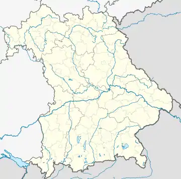 Bernried | |
| Coordinates: 47°51′56″N 11°17′32″E / 47.86556°N 11.29222°E | |
| Country | Germany |
| State | Bavaria |
| Admin. region | Upper Bavaria |
| District | Weilheim-Schongau |
| Government | |
| • Mayor (2020–26) | Georg Malterer[1] |
| Area | |
| • Total | 13.79 km2 (5.32 sq mi) |
| Elevation | 600 m (2,000 ft) |
| Population (2022-12-31)[2] | |
| • Total | 2,466 |
| • Density | 180/km2 (460/sq mi) |
| Time zone | UTC+01:00 (CET) |
| • Summer (DST) | UTC+02:00 (CEST) |
| Postal codes | 82347 |
| Dialling codes | 08158 |
| Vehicle registration | WM |
| Website | www.bernried.de |
Bernried am Starnberger See is a municipality in the Weilheim-Schongau district, in Bavaria, Germany. It lies on the shore of Starnberger See.
Gallery
 Green farmland around Stamberger See
References
- ↑ Results of the Kommunal Vote 2020
- ↑ Genesis Online-Datenbank des Bayerischen Landesamtes für Statistik Tabelle 12411-003r Fortschreibung des Bevölkerungsstandes: Gemeinden, Stichtag (Einwohnerzahlen auf Grundlage des Zensus 2011)
This article is issued from Wikipedia. The text is licensed under Creative Commons - Attribution - Sharealike. Additional terms may apply for the media files.