Bhagtal
بھگٹال | |
|---|---|
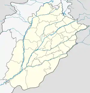
 Bhagtal Location in Punjab  Bhagtal Location in Pakistan | |
| Coordinates: 32°50′19″N 72°13′12″E / 32.8386°N 72.2199°E | |
| Country | Pakistan |
| Province | Punjab |
| Division | Rawalpindi |
| District | Talagang |
| Time zone | UTC+5 (PST) |
| +543 | 48100 |
| Website | http://www.bhagtal.webs.com |
Bhagtal (Urdu: بھگٹال) is a village of Talagang District, in Punjab, Pakistan,[1][2] located 25 km from Talagang city on Talagang-Miawali Road. It resides a population of approximately 15,000. The people are generally government servants and farmers by profession. Majority of the population is Awan by caste.
Language
Punjabi is the main language of Bhagtal.
References
- ↑ "48171 Bhagtal". pk.geoview.info. Retrieved 2022-03-11.
- ↑ "Maps, Weather, and Airports for Bhagthal, Pakistan". www.fallingrain.com. Retrieved 2022-03-11.
This article is issued from Wikipedia. The text is licensed under Creative Commons - Attribution - Sharealike. Additional terms may apply for the media files.