Muli, Nepal | |
|---|---|
| Nickname: टाकाबाडा | |
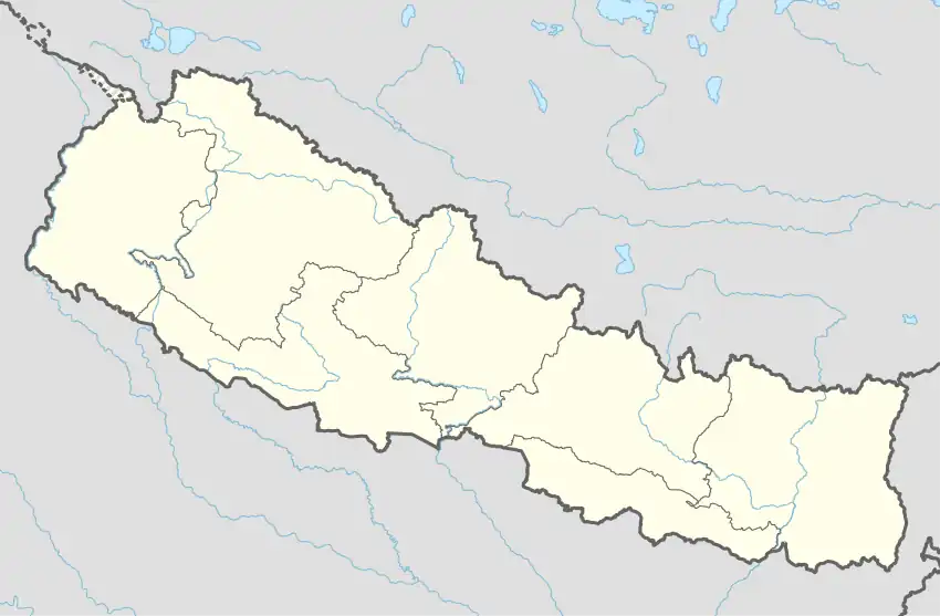 Muli, Nepal Location in Nepal | |
| Coordinates: 29°02′N 81°22′E / 29.04°N 81.36°E | |
| Country | |
| Zone | Seti Zone |
| District | Achham District |
| Population (2001) | |
| • Total | 2,545 |
| • Religions | Hindu |
| Time zone | UTC+5:45 (Nepal Time) |
Muli is a former village development committee in Achham District in the Seti Zone of western Nepal. According to the 1991 Nepal census, the village had a population of 2352 living in 462 houses.[1] At the time of the 2001 Nepal census, the population was 2545, of which 39% was literate.[1] Muli now is part of Kamalbazar Municipality which was established in 2014.
References
- 1 2 "Nepal Census 2001". Nepal's Village Development Committees. Digital Himalaya. Archived from the original on 2008-10-12. Retrieved 2012-08-28.
Headquarters: Mangalsen | ||
| Urban municipalities | 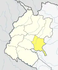 | |
| Rural municipalities | ||
For former VDCs See here | ||
This article is issued from Wikipedia. The text is licensed under Creative Commons - Attribution - Sharealike. Additional terms may apply for the media files.