Biała Dolna | |
|---|---|
Village | |
 Biała Dolna | |
| Coordinates: 50°52′17″N 19°3′27″E / 50.87139°N 19.05750°E | |
| Country | |
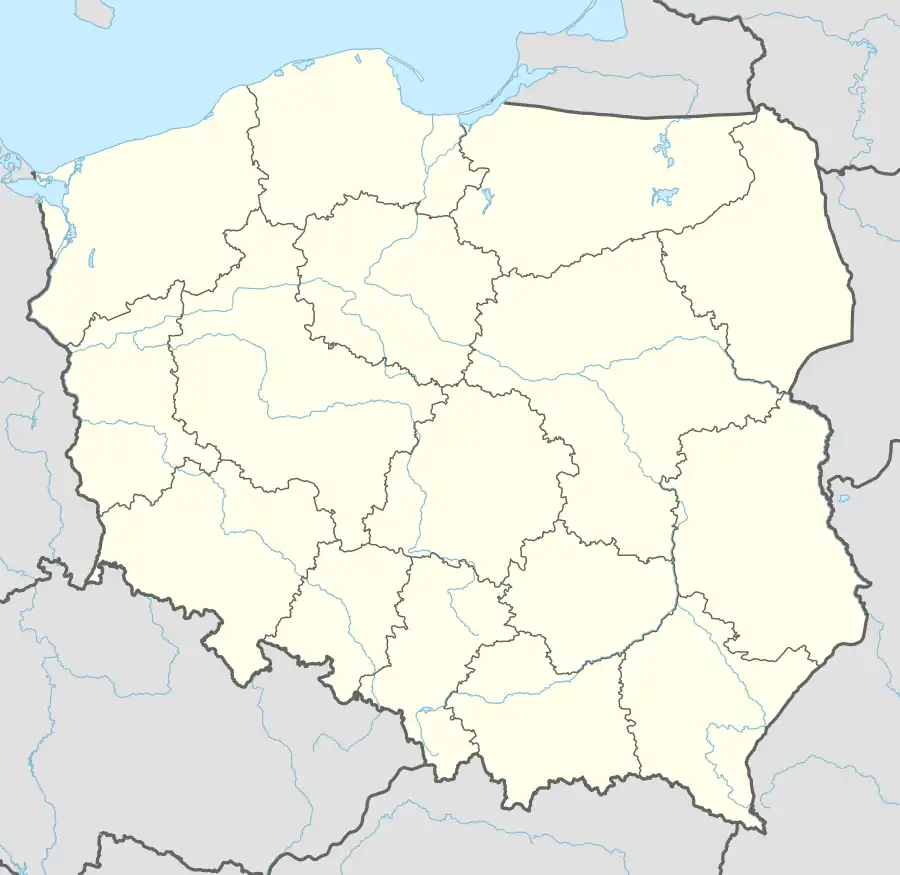
| Voivodeship | Silesian |
| County | Kłobuck |
| Gmina | Kłobuck |
| Population | 823 |
Biała Dolna [ˈbjawa ˈdɔlna] is a village in the administrative district of Gmina Kłobuck, within Kłobuck County, Silesian Voivodeship, in southern Poland.[1] It lies approximately 11 kilometres (7 mi) south-east of Kłobuck and 70 km (43 mi) north of the regional capital Katowice.
References
| Town and seat |  | |
|---|---|---|
| Villages | ||
This article is issued from Wikipedia. The text is licensed under Creative Commons - Attribution - Sharealike. Additional terms may apply for the media files.