Big Fork River
| |
|---|---|
 Mouth of the Big Fork River | |
| Native name | Baas-achaabaani-ziibi (Ojibwe) |
| Location | |
| Country | United States |
| State | Minnesota |
| Counties | |
| Physical characteristics | |
| Source | |
| • coordinates | 48°31′00″N 93°43′01″W / 48.5166163°N 93.7168319°W |
| Mouth | Rainy River |
• coordinates | 48°31′00″N 93°43′01″W / 48.5166163°N 93.7168319°W |
| Length | 168 mi (270 km) |
| Basin features | |
| River system | Rainy River |
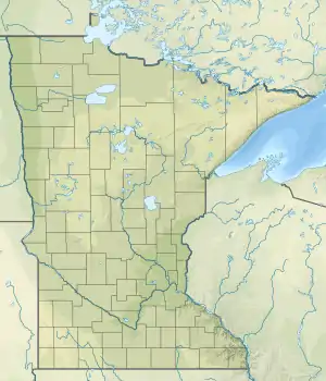
The Big Fork River (French: Rivière Grande Fourche; Ojibwe: Baas-achaabaani-ziibi) is a stream in the U.S. state of Minnesota. Starting in the Chippewa National Forest at Dora Lake, it flows for 168 mi (270 km) into the Rainy River.[1][2][3][4]
See also
Big Fork River is the fifth longest river totally within the state of Minnesota.
References
- ↑ U.S. Geological Survey Geographic Names Information System: Big Fork River
- ↑ "Minnesota Rivers". National Park Service. Retrieved April 11, 2021.
- ↑ "Big Fork River State Watertrail" (PDF). MN DNR. Retrieved April 27, 2021.
- ↑ "Big Fork River State Water Trail Map" (PDF). MN DNR. Retrieved April 27, 2021.
References
- Minnesota Watersheds
- USGS Hydrologic Unit Map - State of Minnesota (1974)
This article is issued from Wikipedia. The text is licensed under Creative Commons - Attribution - Sharealike. Additional terms may apply for the media files.