Blaison-Gohier | |
|---|---|
Part of Blaison-Saint-Sulpice | |
Location of Blaison-Gohier | |
 Blaison-Gohier 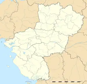 Blaison-Gohier | |
| Coordinates: 47°24′02″N 0°22′12″W / 47.4006°N 0.37°W | |
| Country | France |
| Region | Pays de la Loire |
| Department | Maine-et-Loire |
| Arrondissement | Angers |
| Canton | Les Ponts-de-Cé |
| Commune | Blaison-Saint-Sulpice |
| Area 1 | 21.45 km2 (8.28 sq mi) |
| Population (2019)[1] | 1,092 |
| • Density | 51/km2 (130/sq mi) |
| Time zone | UTC+01:00 (CET) |
| • Summer (DST) | UTC+02:00 (CEST) |
| Postal code | 49320 |
| Elevation | 18–91 m (59–299 ft) (avg. 35 m or 115 ft) |
| 1 French Land Register data, which excludes lakes, ponds, glaciers > 1 km2 (0.386 sq mi or 247 acres) and river estuaries. | |
Blaison-Gohier (French pronunciation: [blɛzɔ̃ ɡɔje] ⓘ) is a former commune in the Maine-et-Loire department in western France. On 1 January 2016, it was merged into the new commune of Blaison-Saint-Sulpice.[2]
Population
|
|
 Castle of Blaison
 Motte-and-bailey of Blaison, before the castle
 Tithe barn of Blaison
See also
References
External links
Wikimedia Commons has media related to Blaison-Gohier.
This article is issued from Wikipedia. The text is licensed under Creative Commons - Attribution - Sharealike. Additional terms may apply for the media files.