Bono, Ohio | |
|---|---|
 Bono  Bono | |
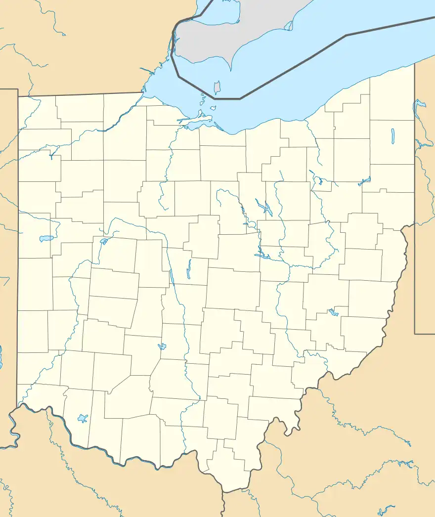
| Coordinates: 41°38′08″N 83°16′09″W / 41.63556°N 83.26917°W | |
| Country | United States |
| State | Ohio |
| County | Lucas |
| Township | Jerusalem |
| Elevation | 577 ft (176 m) |
| Time zone | UTC-5 (Eastern (EST)) |
| • Summer (DST) | UTC-4 (EDT) |
| Area codes | 419 & 567 |
| GNIS feature ID | 1056226[1] |
Bono is an unincorporated community in Lucas County, Ohio, United States.[1]
History
A post office called Bono was established in 1898, and remained in operation until it was discontinued in 1974.[2] The community bears the name of Francis Bunno, chief of the Cherokee.[3]
Notes
- 1 2 "Bono, Ohio". Geographic Names Information System. United States Geological Survey, United States Department of the Interior.
- ↑ "Lucas County". Jim Forte Postal History. Retrieved May 2, 2015.
- ↑ Grigsby, John (April 17, 1991). "Bono named for 'Bunno' a proud Cherokee chief". Toledo Blade. pp. W2. Retrieved May 2, 2015.
Municipalities and communities of Lucas County, Ohio, United States | ||
|---|---|---|
| Cities | 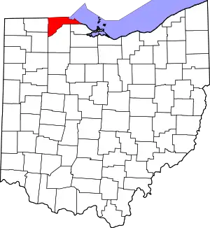 Map of Ohio highlighting Lucas County | |
| Villages | ||
| Townships | ||
| CDPs | ||
| Other communities | ||
| Ghost towns | ||
| Footnotes | ‡This populated place also has portions in an adjacent county or counties | |
This article is issued from Wikipedia. The text is licensed under Creative Commons - Attribution - Sharealike. Additional terms may apply for the media files.