Borax | |
|---|---|
 Borax  Borax | |
| Coordinates: 35°42′52″N 115°20′26″W / 35.71444°N 115.34056°W | |
| Country | United States |
| State | Nevada |
| County | Clark |
| Elevation | 2,707 ft (825 m) |
| Population (2021) | |
| • Total | 0 |
| Time zone | UTC-8 (Pacific (PST)) |
| • Summer (DST) | UTC-7 (PDT) |
| ZIP code | 89026 |
| Area code | 702 |
| GNIS feature ID | 855974[1] |
Borax is a ghost town and railroad siding in Clark County, Nevada, United States located along the Union Pacific Railroad east of Interstate 15.[1]
History
Borax was settled in 1905, and named for the borax deposits in the region. In c. 1940, the population of Borax was 10.[2]
As of 2021, there are no buildings that remain in Borax and the site exists as a railroad siding along the Union Pacific Railroad.
References
- 1 2 "Borax". Geographic Names Information System. United States Geological Survey, United States Department of the Interior.
- ↑ Federal Writers' Project (1941). Origin of Place Names: Nevada (PDF). W.P.A. p. 18.
Municipalities and communities of Clark County, Nevada, United States | ||
|---|---|---|
| Cities | 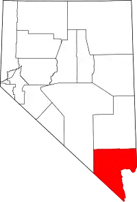 Clark County map | |
| CDPs | ||
| Unincorporated communities | ||
| Ghost towns |
| |
| Indian reservations | ||
| Proposed communities | ||
| Footnotes | ‡This populated place also has portions in an adjacent county or counties | |
This article is issued from Wikipedia. The text is licensed under Creative Commons - Attribution - Sharealike. Additional terms may apply for the media files.