| Bottlesford | |
|---|---|
 The Seven Stars, Bottlesford | |
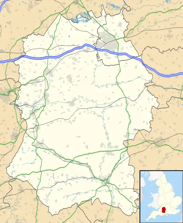 Bottlesford Location within Wiltshire | |
| OS grid reference | SU113592 |
| Civil parish | |
| Unitary authority | |
| Ceremonial county | |
| Region | |
| Country | England |
| Sovereign state | United Kingdom |
| Post town | Pewsey |
| Postcode district | SN9 |
| Dialling code | 01672 |
| Police | Wiltshire |
| Fire | Dorset and Wiltshire |
| Ambulance | South Western |
| UK Parliament | |
Bottlesford is a small village in Wiltshire, England, in the parish of North Newnton. It is in the Vale of Pewsey and is about 3 miles (4.8 km) west of Pewsey. There is a pub, the Seven Stars Inn.[1]
The Berks and Hants Extension Railway, opened from Hungerford to Devizes in 1862, passes north of Bottlesford. Sometime after 1958[2] the boundary of Woodborough parish was moved south to follow the railway, transferring the north end of Bottlesford into Woodborough.[3] The properties immediately north of the railway are labelled as Free Trade on a 1958 map,[2] but that name is not used today.[3]
Until sometime after 1971, Bottlesford was within Manningford parish, in the tithing of Manningford Bohune which had been part of Wilsford parish until 1871.[2]
References
- ↑ "The Seven Stars Inn". Archived from the original on 16 October 2016. Retrieved 19 March 2015.
- 1 2 3 "Ordnance Survey 1:25,000 maps of Great Britain, sheet SU15". National Library of Scotland. 1958. Retrieved 19 August 2018.
- 1 2 "Election Maps: Great Britain". Ordnance Survey. Retrieved 16 March 2023.
External links
- "North Newnton". Wiltshire Community History. Wiltshire Council. Retrieved 19 March 2015.
![]() Media related to Bottlesford at Wikimedia Commons
Media related to Bottlesford at Wikimedia Commons