Breeding | |
|---|---|
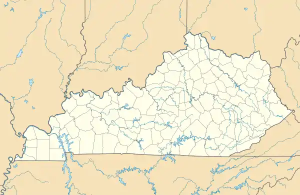 Breeding Location within the state of Kentucky  Breeding Breeding (the United States) | |
| Coordinates: 36°57′33″N 85°26′4″W / 36.95917°N 85.43444°W | |
| Country | United States |
| State | Kentucky |
| County | Adair |
| Elevation | 1,001 ft (305 m) |
| Time zone | UTC-6 (Central (CST)) |
| • Summer (DST) | UTC-5 (CDT) |
| ZIP code | 42715[1] |
| Area code(s) | 270 and 364 |
| GNIS feature ID | 487855 |
Breeding is an unincorporated community in Adair County, Kentucky, United States. Its elevation is 1001 feet (305 m).[2]
References
- ↑ "Breeding ZIP Code". zipdatamaps.com. 2022. Retrieved November 11, 2022.
- ↑ U.S. Geological Survey Geographic Names Information System: Breeding, Kentucky
Municipalities and communities of Adair County, Kentucky, United States | ||
|---|---|---|
| City | 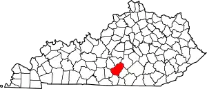 Location of Adair County, Kentucky | |
| Unincorporated communities |
| |
| Footnotes | ‡This populated place also has portions in an adjacent county or counties. | |
This article is issued from Wikipedia. The text is licensed under Creative Commons - Attribution - Sharealike. Additional terms may apply for the media files.