| Bridgham | |
|---|---|
 St Mary the Virgin Church, Bridgham | |
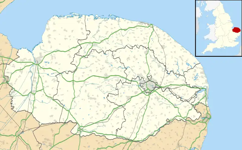 Bridgham Location within Norfolk | |
| Area | 11.06 km2 (4.27 sq mi) |
| Population | 335 (2011)[1] |
| • Density | 30/km2 (78/sq mi) |
| OS grid reference | TL9585 |
| District | |
| Shire county | |
| Region | |
| Country | England |
| Sovereign state | United Kingdom |
| Post town | NORWICH |
| Postcode district | NR16 |
| Police | Norfolk |
| Fire | Norfolk |
| Ambulance | East of England |
Bridgham is a village and civil parish in the English county of Norfolk. It covers an area of 11.06 km2 (4.27 sq mi) and had a population of 328 in 130 households at the 2001 census,[2] increasing to a population of 335 at the 2011 Census. For the purposes of local government, it falls within the district of Breckland.
History
Bridgham's name derives from the Old English for a village or farmstead with a bridge.[3]
In the Domesday Book, Bridgham is recorded as consisting of 11 households and being owned by St. Etheldreda's Abbey, Ely.[4]
References
- ↑ "Civil Parish population 2011". Neighbourhood Statistics. Office for National Statistics. Retrieved 31 July 2016.
- ↑ Census population and household counts for unparished urban areas and all parishes. Office for National Statistics & Norfolk County Council (2001). Retrieved 20 June 2009.
- ↑ University of Nottingham. (2022). Retrieved November 09, 2022. http://kepn.nottingham.ac.uk/map/place/Norfolk/Bridgham
- ↑ Domesday Book. (1086). Retrieved November 09, 2022. https://opendomesday.org/place/TL9585/bridgham/
External links
![]() Media related to Bridgham at Wikimedia Commons
Media related to Bridgham at Wikimedia Commons
This article is issued from Wikipedia. The text is licensed under Creative Commons - Attribution - Sharealike. Additional terms may apply for the media files.