| Buramsan | |
|---|---|
 | |
| Highest point | |
| Elevation | 507 m (1,663 ft) |
| Coordinates | 37°33′58″N 127°06′9″E / 37.56611°N 127.10250°E |
| Geography | |
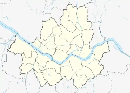 Buramsan 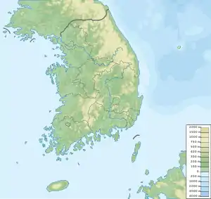 Buramsan Buramsan (South Korea) | |
| Climbing | |
| Easiest route | from Danggogae Station, Sanggye Station |
| Korean name | |
| Hangul | |
| Hanja | |
| Revised Romanization | Buramsan |
| McCune–Reischauer | Puramsan |
Buramsan (Korean: 불암산) is a mountain in South Korea. It sits on the boundary between the district of Nowon-gu in Seoul, the national capital, and the city of Namyangju, in the province of Gyeonggi-do. It has an elevation of 507 m (1,663 ft).[1] It also has a heliport at the second peak (420 m (1,378 ft)).
Gallery
 Signpost showing military action on the mountain during the Korean War
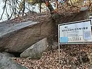 A cave on the mountain used during the Korean War
See also
References
- ↑ Yu, Jeong-yeol (2007). 한국의 산 여행 (Travel Guide to Korean Mountains) (in Korean). Seoul: 관동 상억연구회 (Kwandong). p. 74. ISBN 978-89-958055-1-0.
This article is issued from Wikipedia. The text is licensed under Creative Commons - Attribution - Sharealike. Additional terms may apply for the media files.