Burnham | |
|---|---|
 Burnham | |
| Coordinates: 50°09′22″N 107°16′52″W / 50.156°N 107.281°W | |
| Country | Canada |
| Province | Saskatchewan |
| Region | Southwest Saskatchewan |
| Census division | 7 |
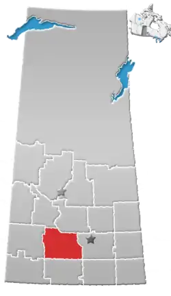
| Rural Municipality | Coulee |
| Government | |
| • Reeve | Greg Targerson |
| • Administrator | Ken Hollinger |
| • Governing body | Coulee No. 136 |
| Time zone | CST |
| Postal code | S9H 1K8 |
| Area code | 306 |
| Highways | Highway 379 Highway 628 |
| [1][2][3][4] | |
Burnham is an unincorporated community in Coulee Rural Municipality No. 136, Saskatchewan, Canada. The community is located on Highway 628, approximately 9 km (5.6 mi) north of Highway 363 and 15 km (9.3 mi) south of Swift Current.
The name probably comes from Burnham-on-Sea, Somerset, although it's possible it may derive from another Burnham in England.[5]
See also
References
- ↑ National Archives, Archivia Net, Post Offices and Postmasters, archived from the original on October 6, 2006
- ↑ Government of Saskatchewan, MRD Home, Municipal Directory System, archived from the original on November 21, 2008
- ↑ Canadian Textiles Institute. (2005), CTI Determine your provincial constituency, archived from the original on September 11, 2007
- ↑ Commissioner of Canada Elections, Chief Electoral Officer of Canada (2005), Elections Canada On-line, archived from the original on April 21, 2007
- ↑ Barry, Bill (September 2005). Geographic Names of Saskatchewan. Regina, Saskatchewan: People Places Publishing, Ltd. p. 66. ISBN 1-897010-19-2.
Places adjacent to Burnham, Saskatchewan | ||||||||||||||||
|---|---|---|---|---|---|---|---|---|---|---|---|---|---|---|---|---|
| ||||||||||||||||
50°09′22″N 107°16′52″W / 50.156°N 107.281°W
This article is issued from Wikipedia. The text is licensed under Creative Commons - Attribution - Sharealike. Additional terms may apply for the media files.