| Burning River | |
|---|---|
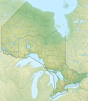 Location of the mouth of the Burning River in Ontario | |
| Location | |
| Country | Canada |
| Province | Ontario |
| Region | Northwestern Ontario |
| District | Kenora District |
| Physical characteristics | |
| Source | Unnamed bog |
| • coordinates | 54°50′20″N 87°56′37″W / 54.83889°N 87.94361°W |
| • elevation | 105 m (344 ft) |
| Mouth | Fawn River |
• coordinates | 54°58′44″N 87°56′49″W / 54.97889°N 87.94694°W |
• elevation | 83 m (272 ft) |
| Basin features | |
| River system | Hudson Bay drainage basin |
The Burning River is a river in the Hudson Bay drainage basin in the north of the Unorganized Part of Kenora District in Northwestern Ontario, Canada.[1] The river flows north from an unnamed bog to its mouth as a left tributary of the Fawn River, which flows via the Severn River to Hudson Bay.
See also
References
- ↑ "Burning River". Geographical Names Data Base. Natural Resources Canada. Retrieved 2013-06-25.
Sources
- Map 19 (PDF) (Map). 1 : 1,600,000. Official road map of Ontario. Ministry of Transportation of Ontario. 2010-01-01. Retrieved 2013-06-25.
This article is issued from Wikipedia. The text is licensed under Creative Commons - Attribution - Sharealike. Additional terms may apply for the media files.