| Cầu River | |
|---|---|
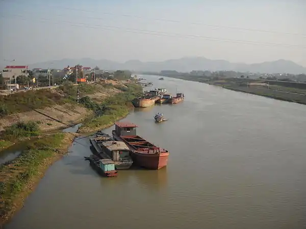 Cầu River at Việt Yên, Bắc Giang | |
| Physical characteristics | |
| Source | |
| • location | Chợ Đồn District |
| Mouth | |
• location | Thái Bình River |
• coordinates | 21°07′26″N 106°17′52″E / 21.12389°N 106.29778°E |
| Length | 288 km (179 mi) |
| Basin size | 6,030 km2 (2,330 sq mi) |
| Basin features | |
| Tributaries | |
| • left | Cà Lồ River, Công River |
Cầu River (Vietnamese: Sông Cầu) is a river of northern Vietnam. It flows through the provinces/cities of Bắc Kạn, Thái Nguyên, Bắc Giang, Hanoi, Bắc Ninh.[1][2] It begins at the Phia Bioóc Peak in Chợ Đồn District, west of mountainous province of Bắc Kạn.
The river has a length of 288 km and basin area of 6,030 km².
References
- ↑ Phung, Hieu (December 2020). "Naming the Red River — becoming a Vietnamese river". Journal of Southeast Asian Studies. 51 (4): 518–537. doi:10.1017/S0022463421000011. ISSN 0022-4634.
- ↑ Giuliani, Silvia; Romanelli, Margherita; Piazza, Rossano; Vecchiato, Marco; Pizzini, Sarah; Tranchida, Giorgio; D’Agostino, Fabio; Romano, Stefania; Bellucci, Luca Giorgio (2019-11-01). "When research meets NGOs: The GVC-UCODEP project in the Bắc Giang Province and Cầu River (Northern Vietnam) and its feedback on national monitoring programs". Environmental Science & Policy. 101: 279–290. doi:10.1016/j.envsci.2019.09.004. ISSN 1462-9011.
External links
Wikimedia Commons has media related to Cau River.
This article is issued from Wikipedia. The text is licensed under Creative Commons - Attribution - Sharealike. Additional terms may apply for the media files.