Campo Limpo Paulista | |
|---|---|
 Flag | |
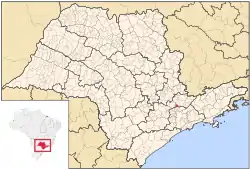 Location in São Paulo state | |
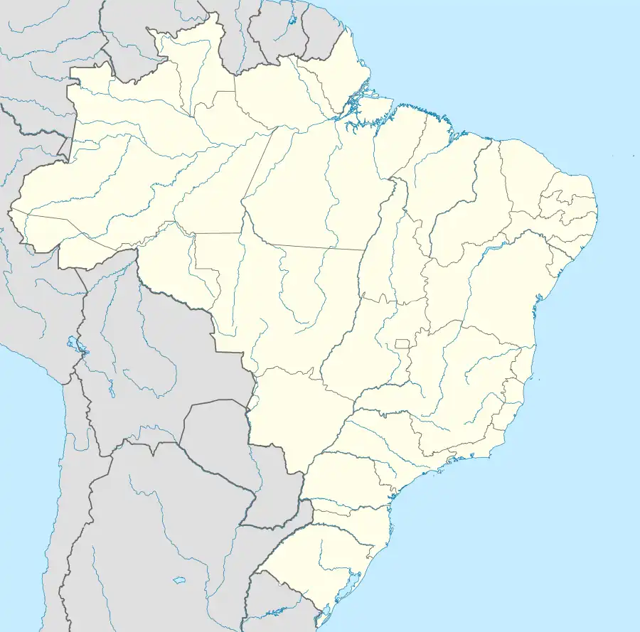 Campo Limpo Paulista Location in Brazil | |
| Coordinates: 23°12′23″S 46°47′4″W / 23.20639°S 46.78444°W | |
| Country | Brazil |
| Region | Southeast |
| State | São Paulo |
| Area | |
| • Total | 79.4 km2 (30.7 sq mi) |
| Population (2020 [1]) | |
| • Total | 85,541 |
| • Density | 1,100/km2 (2,800/sq mi) |
| Time zone | UTC−3 (BRT) |
Campo Limpo Paulista is a municipality in the state of São Paulo in Brazil. The population is 85,541 (2020 est.) in an area of 79.4 km².[2] The elevation is 745 m. The town is the seat of the Roman Catholic Diocese of Campo Limpo.
References
External links
- (in Portuguese) Campo Limpo Paulista Official Site Archived 2014-01-03 at the Wayback Machine
- EncontraCampoLimpoPaulista - Find everything about Campo Limpo Paulista
This article is issued from Wikipedia. The text is licensed under Creative Commons - Attribution - Sharealike. Additional terms may apply for the media files.