Campos Novos Paulista | |
|---|---|
 Flag  Coat of arms | |
 Location in São Paulo state | |
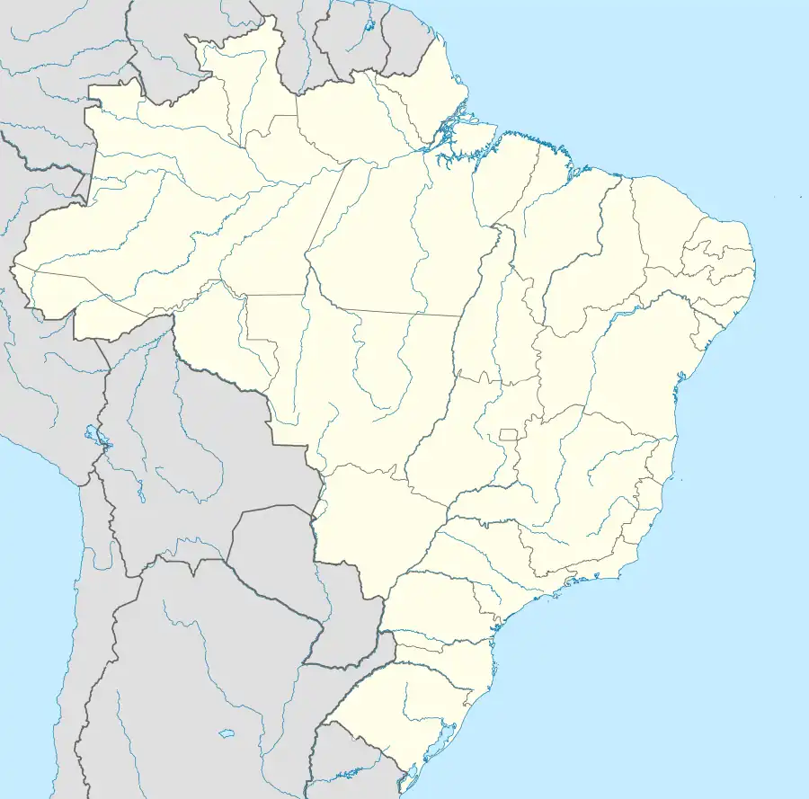 Campos Novos Paulista Location in Brazil | |
| Coordinates: 22°36′11″S 50°0′9″W / 22.60306°S 50.00250°W | |
| Country | Brazil |
| Region | Southeast |
| State | São Paulo |
| Area | |
| • Total | 484 km2 (187 sq mi) |
| Population (2020 [1]) | |
| • Total | 4,997 |
| • Density | 10/km2 (27/sq mi) |
| Time zone | UTC−3 (BRT) |
Campos Novos Paulista is a municipality in the state of São Paulo in Brazil. The population is 4,997 (2020 est.) in an area of 484 square kilometres (187 sq mi).[2] The elevation is 446 metres (1,463 ft). Its original given name in 1880 was Campos Novos do Paranapanema, being later simplified to Campos Novos, and finally acquiring its current name around 1940. The region was originally inhabited by the Caingangues people, being later colonized by immigrants and having its lands dedicated to the production of coffee.[3]
References
External links
- Campos Novos Paulista municipality webpage in Brazilian Portuguese
This article is issued from Wikipedia. The text is licensed under Creative Commons - Attribution - Sharealike. Additional terms may apply for the media files.