Canedo | |
|---|---|
 Coat of arms | |
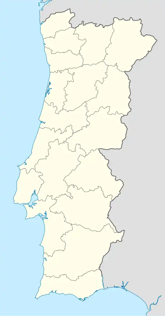 Canedo Location in Portugal | |
| Coordinates: 41°00′N 8°28′W / 41.000°N 8.467°W | |
| Country | |
| Region | Norte |
| Metropolitan area | Porto |
| District | Aveiro |
| Municipality | Santa Maria da Feira |
| Disbanded | 2013 |
| Area | |
| • Total | 27.81 km2 (10.74 sq mi) |
| Population (2001) | |
| • Total | 5,782 |
| • Density | 210/km2 (540/sq mi) |
| Time zone | UTC±00:00 (WET) |
| • Summer (DST) | UTC+01:00 (WEST) |
Canedo (Portuguese pronunciation: [kɐˈneðu]) is a former civil parish in the municipality of Santa Maria da Feira, Portugal. In 2013, the parish merged into the new parish Canedo, Vale e Vila Maior.[1] It has a population of 5,782 inhabitants and a total area of 27.81 km2.
Sporting teams
References
- ↑ Diário da República. "Law nr. 11-A/2013, pages 552 106-107" (pdf) (in Portuguese). Retrieved 30 July 2014.
External links
 Media related to Canedo (Santa Maria da Feira) at Wikimedia Commons
This article is issued from Wikipedia. The text is licensed under Creative Commons - Attribution - Sharealike. Additional terms may apply for the media files.