Carregosa | |
|---|---|
 Flag  Coat of arms | |
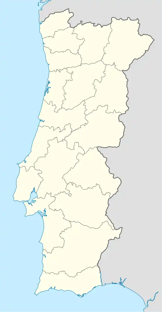 Carregosa Location in Portugal | |
| Coordinates: 40°53′06″N 8°24′50″W / 40.885°N 8.414°W | |
| Country | |
| Region | Norte |
| Metropolitan area | Porto |
| District | Aveiro |
| Municipality | Oliveira de Azeméis |
| Area | |
| • Total | 11.82 km2 (4.56 sq mi) |
| Population (2011) | |
| • Total | 3,419 |
| • Density | 290/km2 (750/sq mi) |
| Time zone | UTC±00:00 (WET) |
| • Summer (DST) | UTC+01:00 (WEST) |
Carregosa is a civil parish in the municipality of Oliveira de Azeméis, Portugal. The population in 2011 was 3,419,[1] in an area of 11.82 km2.[2]
References
- ↑ Instituto Nacional de Estatística
- ↑ "Áreas das freguesias, concelhos, distritos e país". Archived from the original on 2018-11-05. Retrieved 2018-11-05.
This article is issued from Wikipedia. The text is licensed under Creative Commons - Attribution - Sharealike. Additional terms may apply for the media files.