25°46′24″N 100°20′59″W / 25.77333°N 100.34972°W
| Cerro del Topo Chico | |
|---|---|
 Cerro del Topo Chico seen from south | |
| Highest point | |
| Elevation | 1,178 m (3,865 ft) |
| Prominence | 618 m (2,028 ft) |
| Naming | |
| English translation | Little molehill |
| Language of name | Spanish |
| Geography | |
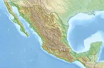 Cerro del Topo Chico Location in Mexico | |
| Location | Escobedo, San Nicolás, Monterrey; Nuevo León |
| Country | |
| Parent range | Sierra Madre Oriental |
| Geology | |
| Mountain type | Mountain |
The Cerro del Topo Chico (Spanish, 'Small Mole Hill', from the Latin talpa 'mole') is a mountain and a protected area[1] in the Escobedo, San Nicolás and Monterrey municipalities; state of Nuevo León, Mexico. The summit reaches 1,178 meters above sea level, and it has 618 meters of prominence (Parent: Cerro de las Mitras). The mountain is about 7.5 km long, is a symbol of Escobedo[2] and San Nicolás,[3] and is completely surrounded by Monterrey metropolitan area. It is known for being the source of the Topo Chico mineral water.
See also
References
- ↑ "Áreas Naturales Protegidas del estado de Nuevo León". www.nl.gob.mx. Retrieved 2019-05-02.
- ↑ "Nuevo León-General Escobedo". siglo.inafed.gob.mx. Archived from the original on 2018-09-27. Retrieved 2019-05-02.
- ↑ "Nuevo León-San Nicolás de los Garza". siglo.inafed.gob.mx. Archived from the original on 2019-05-14. Retrieved 2019-05-02.
Wikimedia Commons has media related to Cerro de Topo Chico, Nuevo León.
This article is issued from Wikipedia. The text is licensed under Creative Commons - Attribution - Sharealike. Additional terms may apply for the media files.