Chak Muglani
ਚੱਕ ਮੁਗਲਾਣੀ | |
|---|---|
Village | |
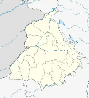 Chak Muglani Location in Punjab, India  Chak Muglani Chak Muglani (India) | |
| Coordinates: 31°08′13.36″N 75°30′39.05″E / 31.1370444°N 75.5108472°E | |
| Country | India |
| State | Punjab |
| District | Jalandhar |
| Tehsil | Nakodar |
| Government | |
| • Type | Panchayat raj |
| • Body | Gram panchayat |
| Area | |
| • Total | 47 ha (116 acres) |
| Population (2011) | |
| • Total | 1,153 584/569 ♂/♀ |
| • Scheduled Castes | 822 412/410 ♂/♀ |
| • Total Households | 238 |
| Languages | |
| • Official | Punjabi |
| Time zone | UTC+5:30 (IST) |
| ISO 3166 code | IN-PB |
| Website | jalandhar |
Chak Muglani is a village in Nakodar in Jalandhar district of Punjab State, India. It is located 3 kilometres (1.9 mi) from sub district headquarter and 28 kilometres (17 mi) from district headquarter. The village is administrated by Sarpanch an elected representative of the village.
Demography
As of 2011, The village has a total number of 238 houses and the population of 1153 of which 584 are males while 569 are females.[1] According to the report published by Census India in 2011, out of the total population of the village 822 people are from Schedule Caste and the village does not have any Schedule Tribe population so far.[1]
See also
- List of villages in India
References
External links
This article is issued from Wikipedia. The text is licensed under Creative Commons - Attribution - Sharealike. Additional terms may apply for the media files.