| Chalkhouse Green | |
|---|---|
 Tanners Lane near Chalkhouse Green | |
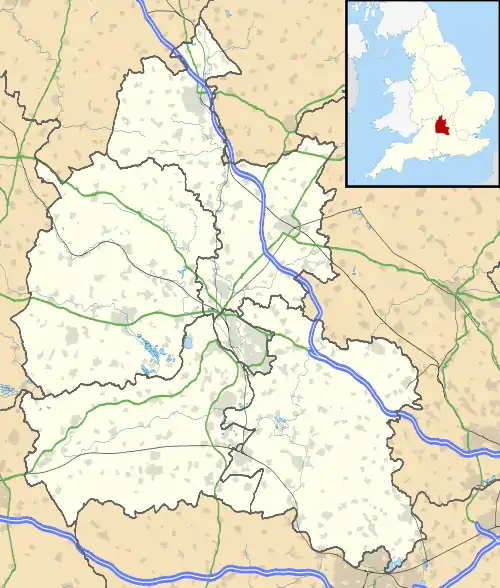 Chalkhouse Green 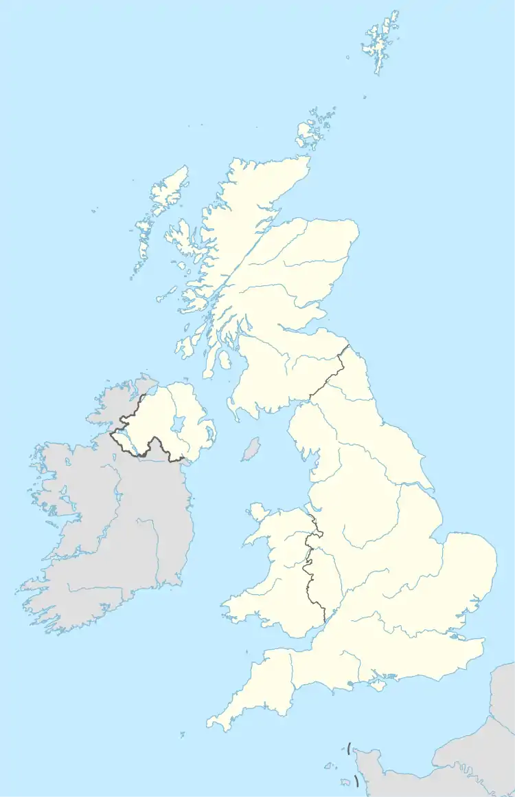 Chalkhouse Green Location within Oxfordshire Chalkhouse Green Chalkhouse Green (Oxfordshire) | |
| Area | 0.21 km2 (0.081 sq mi) |
| Population | 215 (2011 Census) |
| • Density | 1,024/km2 (2,650/sq mi) |
| OS grid reference | SU 7091 7807 |
| Civil parish |
|
| District | |
| Shire county | |
| Region | |
| Country | England |
| Sovereign state | United Kingdom |
| Post town | Reading |
| Postcode district | RG4 |
| Dialling code | 0118 |
| Police | Thames Valley |
| Fire | Oxfordshire |
| Ambulance | South Central |
| UK Parliament | |
Chalkhouse Green is a village in Oxfordshire, England. The village is approximately 3 miles (4.8 km) north of Reading, at an average elevation of 83 metres above the sea level.[1] The 2011 Census recorded the population of the area as 215.[2]
References
- ↑ "Chalkhouse Green topographic map, elevation, terrain". Topographic maps. Retrieved 30 June 2023.
- ↑ "Custom report - Nomis - Official Census and Labour Market Statistics". www.nomisweb.co.uk. Retrieved 30 June 2023.
This article is issued from Wikipedia. The text is licensed under Creative Commons - Attribution - Sharealike. Additional terms may apply for the media files.