Chaplin | |
|---|---|
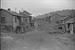 Chaplin, 1938. Photo by Marion Post Wolcott. | |
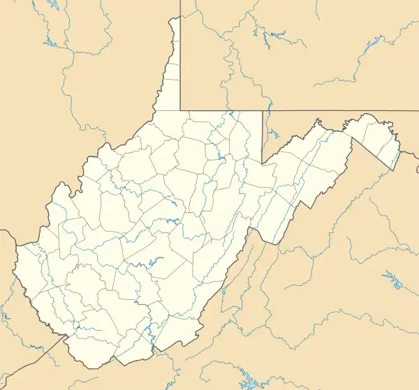 Chaplin Location within the state of West Virginia  Chaplin Chaplin (the United States) | |
| Coordinates: 39°39′2″N 80°1′42″W / 39.65056°N 80.02833°W | |
| Country | |
| State | |
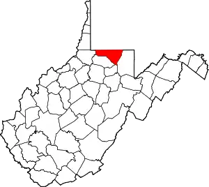
| County | |
| Elevation | 1,033 ft (315 m) |
| Time zone | UTC-5 (Eastern (EST)) |
| • Summer (DST) | UTC-4 (EDT) |
| GNIS ID | 2750094[1] |
Chaplin is an unincorporated community and coal town in Monongalia County, West Virginia, United States.
References
This article is issued from Wikipedia. The text is licensed under Creative Commons - Attribution - Sharealike. Additional terms may apply for the media files.