Chemillé-Melay | |
|---|---|
Former commune | |
.jpg.webp) | |
Location of Chemillé-Melay | |
 Chemillé-Melay 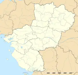 Chemillé-Melay | |
| Coordinates: 47°12′53″N 0°43′58″W / 47.2146°N 0.7327°W | |
| Country | France |
| Region | Pays de la Loire |
| Department | Maine-et-Loire |
| Arrondissement | Cholet |
| Canton | Chemillé-en-Anjou |
| Area 1 | 71.90 km2 (27.76 sq mi) |
| Population (2013)[1] | 8,822 |
| • Density | 120/km2 (320/sq mi) |
| Time zone | UTC+01:00 (CET) |
| • Summer (DST) | UTC+02:00 (CEST) |
| INSEE/Postal code | 49092 /49120 |
| 1 French Land Register data, which excludes lakes, ponds, glaciers > 1 km2 (0.386 sq mi or 247 acres) and river estuaries. | |
Chemillé-Melay (French pronunciation: [ʃəmije məlɛ]) was a short-lived commune in the department of Maine-et-Loire in western France.
The commune was established on 1 January 2013 by merger of the former communes of Chemillé and Melay.[2] On 15 December 2015, Chanzeaux, La Chapelle-Rousselin, Chemillé-Melay, Cossé-d'Anjou, La Jumellière, Neuvy-en-Mauges, Sainte-Christine, Saint-Georges-des-Gardes, Saint-Lézin, La Salle-de-Vihiers, La Tourlandry, and Valanjou merged becoming one commune called Chemillé-en-Anjou.
References
- ↑ Populations légales 2013: Téléchargement du fichier d'ensemble, INSEE
- ↑ Arrêté préfectoral 12 November 2012 (in French)
See also
This article is issued from Wikipedia. The text is licensed under Creative Commons - Attribution - Sharealike. Additional terms may apply for the media files.