Chemmaruthy | |
|---|---|
village | |
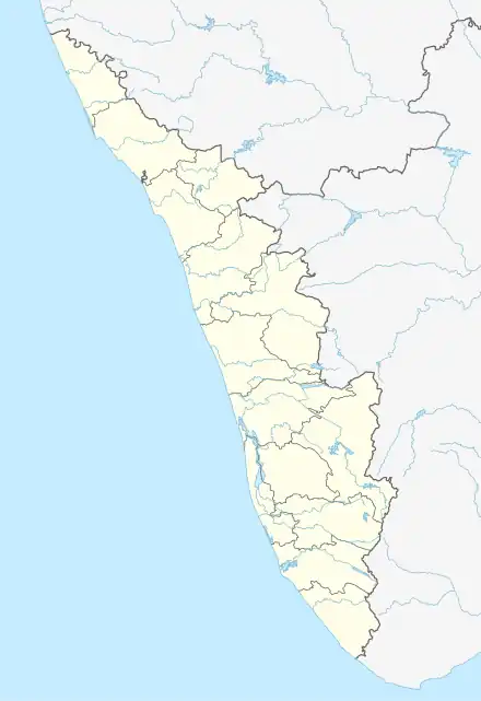 Chemmaruthy Location in Kerala, India  Chemmaruthy Chemmaruthy (India) | |
| Coordinates: 8°45′35″N 76°44′37″E / 8.7597°N 76.7435°E | |
| Country | |
| State | Kerala |
| District | Thiruvananthapuram |
| Talukas | Varkala Taluk |
| Government | |
| • Body | Gram panchayat |
| Area | |
| • Total | 17.54 km2 (6.77 sq mi) |
| Population (2011) | |
| • Total | 32,444 |
| • Density | 1,800/km2 (4,800/sq mi) |
| Languages | |
| • Official | Malayalam, English |
| Time zone | UTC+5:30 (IST) |
| PIN | 695146 |
| Vehicle registration | KL-81 |
Chemmaruthy is a panchayat in Varkala Taluk of Thiruvananthapuram district in the state of Kerala, India. It is 7 km east of Varkala city centre and 40 km north of state capital Trivandrum. It is also one of the 5 panchayats that shares border with Varkala Municipality.[1]
Demographics
As of 2011 India census, Chemmaruthy had a population of 32444 with 14468 males and 16450 females.[1]
District HQ: Thiruvananthapuram | |||||||
| History | 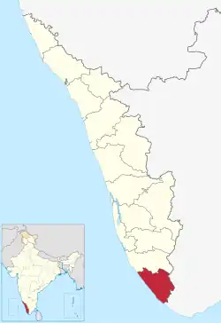 | ||||||
| Geography | |||||||
| Cities and Taluks |
| ||||||
| Transport | |||||||
| Education |
| ||||||
| Buildings | |||||||
| Culture | |||||||
| Lok Sabha constituencies | |||||||
| Sports | |||||||
| Museums | |||||||
References
- 1 2 "Census of India : Villages with population 5000 & above". Registrar General & Census Commissioner, India. Archived from the original on 8 December 2008. Retrieved 10 December 2008.
This article is issued from Wikipedia. The text is licensed under Creative Commons - Attribution - Sharealike. Additional terms may apply for the media files.