Chiquimula Airport | |||||||||||
|---|---|---|---|---|---|---|---|---|---|---|---|
| Summary | |||||||||||
| Airport type | Public | ||||||||||
| Serves | Chiquimula, Guatemala | ||||||||||
| Elevation AMSL | 1,122 ft / 342 m | ||||||||||
| Coordinates | 14°49′50″N 89°31′15″W / 14.83056°N 89.52083°W | ||||||||||
| Map | |||||||||||
 CIQ Location in Petén Department 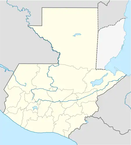 CIQ Location in Guatemala | |||||||||||
| Runways | |||||||||||
| |||||||||||
| Statistics (2022) | |||||||||||
| |||||||||||
Chiquimula Airport (IATA: CIQ) is an airport serving Chiquimula, the capital of Chiquimula Department, Guatemala. The airport is 3 kilometres (1.9 mi) north of the city, alongside the CA10 road.
There is nearby mountainous terrain north through southeast of the airport, and distant mountainous terrain in other quadrants.
See also
References
- ↑ Airport information for Chiquimula Airport at Great Circle Mapper.
- ↑ Google Maps - Chiquimula
- ↑ "Chiquimula Airport". SkyVector. Retrieved 3 September 2018.
- ↑ DGAC (2023). "ESTADÍSTICAS AERÓDROMOS" [STATISTICS OF AIRFIELDS] (in Spanish). Retrieved 2023-07-03.
- Google Earth
External links
- OpenStreetMap - Chiquimula
- OurAirports - Chiquimula Airport
- FallingRain - Chiquimula Airport
- Accident history for Chiquimula Airport at Aviation Safety Network
This article is issued from Wikipedia. The text is licensed under Creative Commons - Attribution - Sharealike. Additional terms may apply for the media files.