Chitunda | |
|---|---|
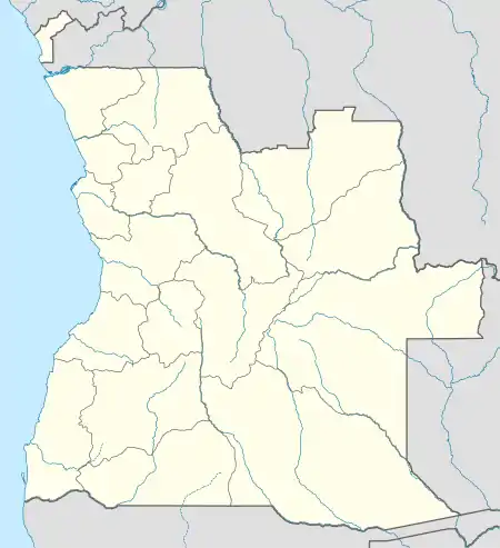 Chitunda Location in Angola | |
| Coordinates: 11°45′59″S 14°11′1″E / 11.76639°S 14.18361°E | |
| Country | Angola |
| Province | Cuanza Sul Province |
| Elevation | 1,008 m (3,307 ft) |
| Time zone | UTC+1 (West Africa Time) |
Chitunda or Cotunda is a populated place in western Angola.[2] The following table is a climate table average for Chitunda:
| Climate data for Chitunda, Angola | |||||||||||||
|---|---|---|---|---|---|---|---|---|---|---|---|---|---|
| Month | Jan | Feb | Mar | Apr | May | Jun | Jul | Aug | Sep | Oct | Nov | Dec | Year |
| Mean daily maximum °C (°F) | 25 (77) |
26 (79) |
26 (79) |
26 (79) |
27 (81) |
28 (82) |
29 (84) |
32 (90) |
32 (90) |
30 (86) |
26 (79) |
24 (75) |
28 (82) |
| Mean daily minimum °C (°F) | 15 (59) |
15 (59) |
15 (59) |
15 (59) |
14 (57) |
12 (54) |
13 (55) |
15 (59) |
17 (63) |
17 (63) |
16 (61) |
15 (59) |
15 (59) |
| Average precipitation mm (inches) | 215 (8.5) |
219 (8.6) |
324 (12.8) |
258 (10.2) |
28 (1.1) |
0 (0) |
0 (0) |
2 (0.1) |
62 (2.4) |
303 (11.9) |
430 (16.9) |
312 (12.3) |
2,153 (84.8) |
| Source: World Weather Online [3] | |||||||||||||
References
This article is issued from Wikipedia. The text is licensed under Creative Commons - Attribution - Sharealike. Additional terms may apply for the media files.