| Chlyne Lohner | |
|---|---|
| Klein Lohner | |
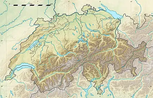 Chlyne Lohner Location in Switzerland | |
| Highest point | |
| Elevation | 2,587 m (8,488 ft) |
| Prominence | 202 m (663 ft)[1] |
| Isolation | 0.78 km (0.48 mi) |
| Coordinates | 46°29′12″N 7°37′33″E / 46.48667°N 7.62583°E |
| Geography | |
| Location | Bern, Switzerland |
| Parent range | Bernese Alps |
The Chlyne Lohner (also spelled Klein Lohner) is a mountain of the Bernese Alps, located between the valleys of Adelboden and Kandersteg.[2]
The Chlyne Lohner lies to the north of the Gross Lohner, from which it is separated by the Bunderchrinde Pass, which provides a hiking route between Adelboden and Kandersteg.[2][3]
References
- ↑ Swisstopo maps
- 1 2 map.geo.admin.ch (Map). Swiss Confederation. Retrieved 2015-05-21.
- ↑ Reynolds, Kev (2011). "Trek 10 - Alpine Pass Route". Trekking in the Alps. Cicerone. pp. 124–135. ISBN 978 1 85284 600 8.
External links
This article is issued from Wikipedia. The text is licensed under Creative Commons - Attribution - Sharealike. Additional terms may apply for the media files.