| Cima dello Stagn | |
|---|---|
| Cima di Paina | |
 View from the west side | |
| Highest point | |
| Elevation | 2,382 m (7,815 ft)[1] |
| Coordinates | 46°12′30.2″N 9°12′8.1″E / 46.208389°N 9.202250°E |
| Geography | |
 Cima dello Stagn Location in the Alps | |
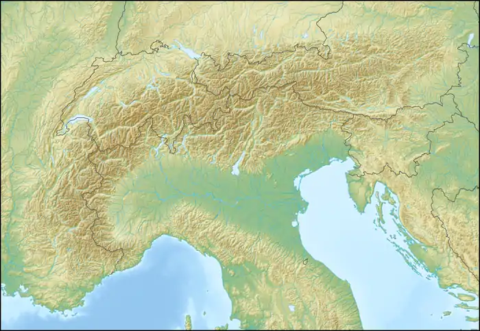
| Location | Graubünden, Switzerland Lombardy, Italy |
| Parent range | Lepontine Alps |
The Cima dello Stagn (also known as Cima di Paina) is a mountain of the Lepontine Alps, located on the border between Italy and Switzerland. It lies between Gravedona (Lombardy) and Roveredo (Graubünden).
References
External links
This article is issued from Wikipedia. The text is licensed under Creative Commons - Attribution - Sharealike. Additional terms may apply for the media files.