| Claverton | |
|---|---|
 Boundary stone | |
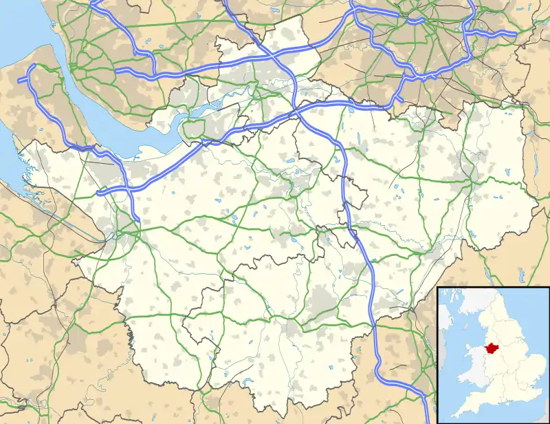 Claverton Location within Cheshire | |
| Population | 7 (2001 census) |
| OS grid reference | SJ4063 |
| Civil parish |
|
| Unitary authority | |
| Ceremonial county | |
| Region | |
| Country | England |
| Sovereign state | United Kingdom |
| Post town | CHESTER |
| Postcode district | CH4 |
| Dialling code | 01244 |
| Police | Cheshire |
| Fire | Cheshire |
| Ambulance | North West |
| UK Parliament | |
Claverton is a former civil parish, now in the parish of Eaton and Eccleston, in the borough of Cheshire West and Chester and ceremonial county of Cheshire in England. In 2001 it had a population of 7.[1] The parish included the site of The King's School. The civil parish was abolished in 2015 to form Eaton and Eccleston.[2]
In 1086, Claverton was recorded in the Domesday Book as Cleventone.[lower-alpha 1] The landowner was Hugh FitzOsbern.[3] With a population of 21 households, it was amongst the largest 40% of settlements recorded in the census.[4]
Throughout the nineteenth century the population was recorded as 0.[2] The Imperial Gazetteer of England and Wales described Claverton as "an uninhabited extra-parochial tract in Great Boughton district".[5]
Notes
- ↑ Possible transcription error: could be Claventone.
References
- ↑ "Census 2001: Parish Headcounts: Chester". Office for National Statistics. Archived from the original on 13 June 2011. Retrieved 12 December 2009. Retrieved 12 December 2009
- 1 2 "CLAVERTON". GENUKI. Retrieved 6 April 2018.
- ↑ "Cheshire A-K: Claverton". Domesday Book Online. Retrieved 29 July 2020.
- ↑ Powell-Smith, Anna. "Claverton". Open Domesday. Retrieved 29 July 2020.
- ↑ "History of Claverton, in Chester and Cheshire". A Vision of Britain through Time. GB Historical GIS / University of Portsmouth. Retrieved 29 July 2020.
External links
![]() Media related to Claverton at Wikimedia Commons
Media related to Claverton at Wikimedia Commons