Clavier
| |
|---|---|
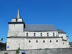 The Church of Saint Remaclus in Ocquier, Clavier | |
 Coat of arms | |
Location of Clavier | |
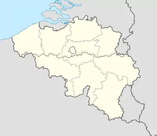 Clavier Location in Belgium
Location of Clavier in the province of Liège 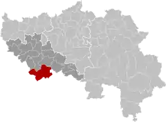 | |
| Coordinates: 50°25′N 05°22′E / 50.417°N 5.367°E | |
| Country | |
| Community | French Community |
| Region | Wallonia |
| Province | Liège |
| Arrondissement | Huy |
| Government | |
| • Mayor | Philippe Dubois (MR) |
| • Governing party/ies | IC |
| Area | |
| • Total | 79.5 km2 (30.7 sq mi) |
| Population (2018-01-01)[1] | |
| • Total | 4,617 |
| • Density | 58/km2 (150/sq mi) |
| Postal codes | 4560 |
| NIS code | 61012 |
| Area codes | 086, 085, 083 |
Clavier (French pronunciation: [klavje] ⓘ; Walloon: Clavir) is a municipality of Wallonia located in the province of Liège, Belgium.
On January 1, 2006, Clavier had a total population of 4,172. The total area is 79.12 km² which gives a population density of approximately 53 inhabitants per km².
The municipality consists of the following districts: Bois-et-Borsu, Clavier, Les Avins, Ocquier, Pailhe, and Terwagne.
The Castel du Val d'Or is an inn with 15 rooms located within Clavier. It dates back to 1654.
See also
References
- ↑ "Wettelijke Bevolking per gemeente op 1 januari 2018". Statbel. Retrieved March 9, 2019.
External links
 Media related to Clavier at Wikimedia Commons
Places adjacent to Clavier, Liège | |
|---|---|
Municipalities in the province of Liège, Wallonia | ||
|---|---|---|
| Huy | 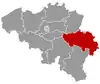 | |
| Liège | ||
| Verviers | ||
| Waremme | ||
| ||
This article is issued from Wikipedia. The text is licensed under Creative Commons - Attribution - Sharealike. Additional terms may apply for the media files.