Colonnella | |
|---|---|
| Comune di Colonnella | |
Location of Colonnella | |
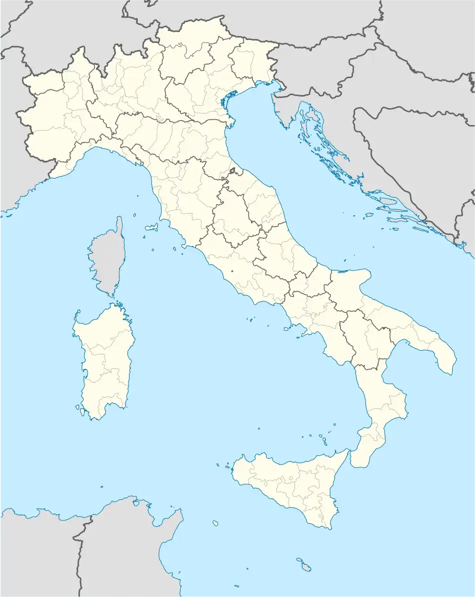 Colonnella Location of Colonnella in Italy 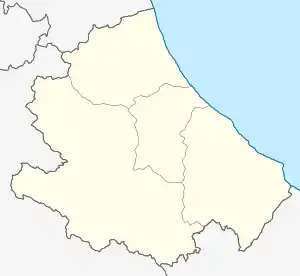 Colonnella Colonnella (Abruzzo) | |
| Coordinates: 42°52′N 13°52′E / 42.867°N 13.867°E | |
| Country | Italy |
| Region | Abruzzo |
| Province | Teramo (TE) |
| Frazioni | Civita, San Giovanni, San Martino, Vallecupa, Vibrata |
| Area | |
| • Total | 21 km2 (8 sq mi) |
| Elevation | 303 m (994 ft) |
| Population (1 January 2007)[2] | |
| • Total | 3,495 |
| • Density | 170/km2 (430/sq mi) |
| Demonym | Collonnellesi |
| Time zone | UTC+1 (CET) |
| • Summer (DST) | UTC+2 (CEST) |
| Postal code | 64010 |
| Dialing code | 0861 |
| ISTAT code | 067019 |
| Patron saint | San Michele |
| Saint day | 8 May |
| Website | Official website |
Colonnella is a comune in the Province of Teramo in the Italian region Abruzzo of eastern Italy.
Geography
The territory of Colonnella borders the following municipalities: Corropoli, Controguerra, Martinsicuro, Alba Adriatica, Monteprandone.
The territory of Colonnella is subdivided into nine districts: the "Centro capoluogo", Contrada Civita, Contrada Giardino, Contrada Riomoro, Contrada San Giovanni, Contrada San Martino, Contrada Sant'Angelo, Contrada Vallecupa, Contrada Vibrata and Contrada Isola.
References
- ↑ "Superficie di Comuni Province e Regioni italiane al 9 ottobre 2011". Italian National Institute of Statistics. Retrieved 16 March 2019.
- ↑ All demographics and other statistics from the Italian statistical institute (Istat)

This article is issued from Wikipedia. The text is licensed under Creative Commons - Attribution - Sharealike. Additional terms may apply for the media files.