| Cookie Jar Butte | |
|---|---|
 | |
| Highest point | |
| Elevation | 4,344 ft (1,324 m) NGVD 29[1] |
| Prominence | 604 ft (184 m)[1] |
| Coordinates | 37°05′25″N 111°18′14″W / 37.0902675°N 111.3037662°W[2] |
| Geography | |
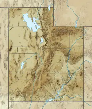 Cookie Jar Butte Location in Utah  Cookie Jar Butte Cookie Jar Butte (the United States) | |
| Location | Glen Canyon National Recreation Area Kane County, Utah, U.S. |
| Parent range | Colorado Plateau |
| Topo map | USGS Gunsight Butte |
| Geology | |
| Age of rock | Jurassic |
| Type of rock | Entrada Sandstone |
Cookie Jar Butte is a tower in Kane County, Utah, in the United States with an elevation of 4,311 feet (1,314 m).[2] It is located in Padre Bay on the north shore of Lake Powell.[3]
References
- 1 2 "Cookie Jar Butte". ListsOfJohn.com. Retrieved 2016-04-24.
- 1 2 "Cookie Jar Butte". Geographic Names Information System. United States Geological Survey, United States Department of the Interior. Retrieved 2016-04-24.
- ↑ "Cookie Jar Butte in Padre Bay on Lake Powell". Lake Powell Guide. Retrieved 2016-04-24.
External links
- Cookie Jar Butte photo: National Park Service
- Weather forecast: Cookie Jar Butte
This article is issued from Wikipedia. The text is licensed under Creative Commons - Attribution - Sharealike. Additional terms may apply for the media files.