| Copper Mountain | |
|---|---|
.jpg.webp) View of Copper Mountain from Charleston-Jarbidge Road in Copper Basin | |
| Highest point | |
| Elevation | 9,917 ft (3,023 m) NAVD 88[1] |
| Prominence | 1,470 ft (448 m)[2] |
| Coordinates | 41°46′15″N 115°31′15″W / 41.770916536°N 115.520736156°W[1] |
| Geography | |
 Copper Mountain Nevada, U.S. | |
| Location | Elko County, Nevada, U.S. |
| Parent range | Copper Mountains |
Copper Mountain is the highest mountain in the Copper Mountains of northern Elko County, Nevada, United States.[3] It is located within the Mountain City Ranger District of the Humboldt-Toiyabe National Forest.
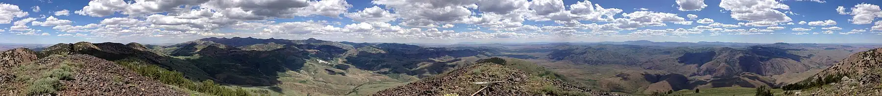
Summit panorama
References
- 1 2 "Copper". NGS Data Sheet. National Geodetic Survey, National Oceanic and Atmospheric Administration, United States Department of Commerce. Retrieved 2014-01-25.
- ↑ "Copper Mountain, Nevada". Peakbagger.com. Retrieved 2014-01-25.
- ↑ "Copper Mountains". Peakbagger.com. Retrieved 2014-01-25.
External links
 Media related to Copper Mountain at Wikimedia Commons
- "Copper Mountain". Geographic Names Information System. United States Geological Survey, United States Department of the Interior.
This article is issued from Wikipedia. The text is licensed under Creative Commons - Attribution - Sharealike. Additional terms may apply for the media files.