Cordeiro | |
|---|---|
Municipality | |
| Município de Cordeiro | |
 Flag  Seal | |
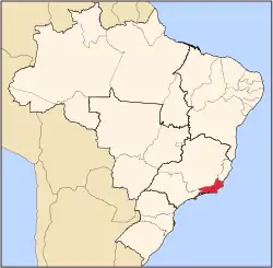
 Location of Cordeiro in the state of Rio de Janeiro | |
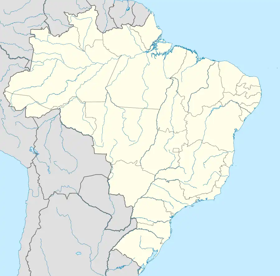 Cordeiro Location of Cordeiro in Brazil | |
| Coordinates: 22°01′44″S 42°21′39″W / 22.02889°S 42.36083°W | |
| Country | |
| Region | Southeast |
| State | |
| Government | |
| • Prefeito | Luciano Ramos (PPS) |
| Area | |
| • Total | 116.044 km2 (44.805 sq mi) |
| Elevation | 485 m (1,591 ft) |
| Population (2020 [1]) | |
| • Total | 22,041 |
| Time zone | UTC-3 (UTC-3) |
| Website | |
Cordeiro (Portuguese pronunciation: [koʁˈdejɾu]) is a municipality located in the Brazilian state of Rio de Janeiro. Its population was 22,041 (2020) and its area is 116 km2.[2]
Cordeiro (lamb in Portuguese) is a municipality located in the Brazilian state of Rio de Janeiro. Its population was 19,764 (2005) and its area is 116 km2.[1] This city has many beautiful monuments, prominence for the Methodist church, the park of exhibitions and the Cordeiro Social Club.[3]
References
- ↑ IBGE 2020
- ↑ IBGE - "Archived copy". Archived from the original on 2008-06-11. Retrieved 2008-06-11.
{{cite web}}: CS1 maint: archived copy as title (link) - ↑ "IBGE | Brasil em SĂntese". Cidades.ibge.gov.br. Retrieved 2022-08-26.
Capital: Rio de Janeiro | |||||||||||
| Mesoregion Baixadas |
|  | |||||||||
| Mesoregion Centro Fluminense |
| ||||||||||
| Mesoregion Metropolitana do Rio de Janeiro |
| ||||||||||
| Mesoregion Noroeste Fluminense |
| ||||||||||
| Mesoregion Norte Fluminense |
| ||||||||||
| Mesoregion Sul Fluminense |
| ||||||||||
This article is issued from Wikipedia. The text is licensed under Creative Commons - Attribution - Sharealike. Additional terms may apply for the media files.