Crkvari | |
|---|---|
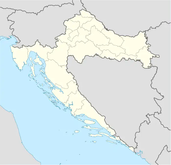 Crkvari Location of Crkvari within Croatia | |
| Coordinates: 45°31′N 17°58′E / 45.517°N 17.967°E | |
| Country | |
| County | |
| Area | |
| • Total | 4.0 km2 (1.5 sq mi) |
| Elevation | 0 m (0 ft) |
| Population (2021)[2] | |
| • Total | 112 |
| • Density | 28/km2 (73/sq mi) |
| Time zone | UTC+1 (CET) |
| • Summer (DST) | UTC+2 (CEST) |
| Postal code | 33515 Orahovica |
| Area code | 033 |
Crkvari is a village in north-eastern Slavonia, situated in municipality town of Orahovica, Virovitica-Podravina County, Croatia.
Population
| Crkvari | ||||||
| year of census | 2001. | 1991. | 1981. | 1971. | 1961. | |
| Croats | 139 (99,28%) | 140 (95,89%) | 155 (93,93%) | 188 (95,91%) | 208 (98,57%) | |
| Serbs | 0 | 1 (0,68%) | 0 | 0 | 2 (0,94%) | |
| Yugoslavs | 0 | 0 | 10 (6,06%) | 8 (4,08%) | 0 | |
| others and unknown | 1 (0,71%) | 5 (3,42%) | 0 | 0 | 1 (0,47%) | |
| total | 140 | 146 | 165 | 196 | 211 | |
References
- ↑ Register of spatial units of the State Geodetic Administration of the Republic of Croatia. Wikidata Q119585703.
- ↑ "Population by Age and Sex, by Settlements, 2021 Census". Census of Population, Households and Dwellings in 2021. Zagreb: Croatian Bureau of Statistics. 2022.
- CD-rom: "Naselja i stanovništvo RH od 1857-2001. godine", Izdanje Državnog zavoda za statistiku Republike Hrvatske, Zagreb, 2005.
This article is issued from Wikipedia. The text is licensed under Creative Commons - Attribution - Sharealike. Additional terms may apply for the media files.