| Crowsnest Ridge | |
|---|---|
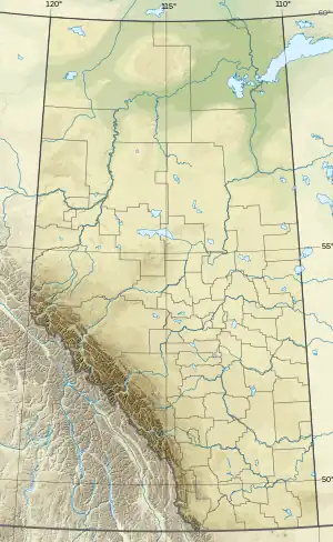 Crowsnest Ridge Location in Alberta and British Columbia | |
| Highest point | |
| Elevation | 1,903 m (6,243 ft)[1] |
| Prominence | 381 m (1,250 ft) |
| Coordinates | 49°38′12″N 114°39′30″W / 49.63667°N 114.65833°W |
| Geography | |
| Location | Alberta British Columbia |
| Topo map | NTS 82G10 Crowsnest |
Crowsnest Ridge is located on the border of Alberta and British Columbia on the Continental Divide.[1]
See also
References
- 1 2 "Crowsnest Ridge". Bivouac.com.
External links
This article is issued from Wikipedia. The text is licensed under Creative Commons - Attribution - Sharealike. Additional terms may apply for the media files.