Dani | |
|---|---|
Village | |
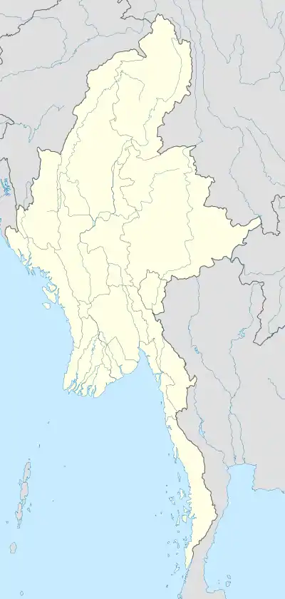 Dani Location in Myanmar (Burma) | |
| Coordinates: 17°27′52.93″N 94°36′37.42″E / 17.4647028°N 94.6103944°E | |
| Country | Myanmar |
| Division | Rakhine State |
| District | Thandwe District |
| Township | Gwa Township |
| Time zone | UTC+6.30 (MMT) |
Dani is a village located at the southern tip of Myanmar's Rakhine State.[1]
References
- ↑ "Dani, Myanmar Enhanced Weather Satellite Map". AccuWeather. Retrieved 24 May 2018.
Capital: Sittwe | ||
| Kyaukpyu District |  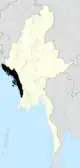 | |
| Maungdaw District | ||
| Sittwe District | ||
| Thandwe District | ||
| Mrauk-U District | ||
| Main cities and towns | ||
This article is issued from Wikipedia. The text is licensed under Creative Commons - Attribution - Sharealike. Additional terms may apply for the media files.