Dawson, Alabama | |
|---|---|
 Dawson Location within Alabama | |
| Coordinates: 34°18′14″N 085°55′34″W / 34.30389°N 85.92611°W [1] | |
| Country | United States |
| State | Alabama |
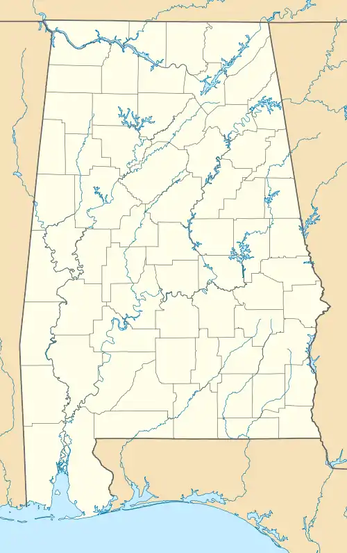
| County | DeKalb |
| Elevation | 1,161 ft (354 m) |
| ZIP code | 35963[2] |
| Area code(s) | 256 and 938 |
| GNIS ID[1] | 155048 |
Dawson is a small unincorporated community located in DeKalb County, Alabama, United States.[1] It is located atop Sand Mountain, approximately 4 miles (6 km) northeast of the town of Crossville.[3]
Geography
Dawson is located at 34°18′14″N 085°55′34″W / 34.30389°N 85.92611°W. Its average elevation is 1,161 feet (354 m) above sea level.[1]
References
- 1 2 3 4 5 "Feature Detail Report for: Dawson (DeKalb County, Alabama)". Geographic Names Information System. United States Geological Survey, United States Department of the Interior. Retrieved February 8, 2013.
- ↑ "Dawson ZIP Code". zipdatamaps.com. 2022. Retrieved November 11, 2022.
- ↑ "Driving directions: Crossville, AL to Dawson, AL". Google Maps. Retrieved February 8, 2013.
Municipalities and communities of DeKalb County, Alabama, United States | ||
|---|---|---|
| Cities | 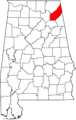 Map of Alabama highlighting DeKalb County | |
| Towns | ||
| Unincorporated communities | ||
| Ghost towns | ||
| Footnotes | ‡This populated place also has portions in an adjacent county or counties | |
This article is issued from Wikipedia. The text is licensed under Creative Commons - Attribution - Sharealike. Additional terms may apply for the media files.