Dennison | |
|---|---|
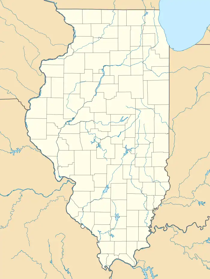 Dennison Location of Dennison within Illinois  Dennison Dennison (the United States) | |
| Coordinates: 39°27′39″N 87°35′52″W / 39.46083°N 87.59778°W[1] | |
| Country | United States |
| State | Illinois |
| County | Clark |
| Elevation | 577 ft (176 m) |
| Time zone | UTC-6 (CST) |
| • Summer (DST) | UTC-5 (CDT) |
| Postal code | 62423 |
| GNIS feature ID | 407130[1] |
Dennison is an unincorporated community in Wabash Township in the northeast corner of Clark County, Illinois, east of Illinois Route 1 and north of Interstate 70.
Geography
Dennison is located at 39°27'39" North, 87°35'52" West (39.4608688, -87.5978025).[2]
References
- 1 2 3 U.S. Geological Survey Geographic Names Information System: Dennison, Illinois}
- ↑ "US Gazetteer files: 2010, 2000, and 1990". United States Census Bureau. February 12, 2011. Retrieved April 23, 2011.
External links
Municipalities and communities of Clark County, Illinois, United States | ||
|---|---|---|
| Cities | Map of Illinois highlighting Clark County | |
| Village | ||
| Townships | ||
| CDP | ||
| Unincorporated communities | ||
| Ghost town | ||
| Footnotes | ‡This populated place also has portions in an adjacent county or counties | |
This article is issued from Wikipedia. The text is licensed under Creative Commons - Attribution - Sharealike. Additional terms may apply for the media files.