Destriana, Spain | |
|---|---|
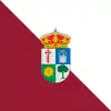 Flag  Coat of arms | |
 Destriana, Spain | |
| Coordinates: 42°19′39″N 6°5′48″W / 42.32750°N 6.09667°W | |
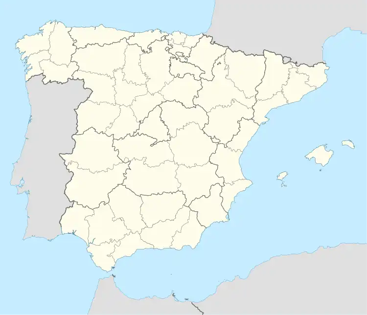
| Country | Spain |
| Autonomous community | Castile and León |
| Province | León |
| Municipality | Destriana |
| Government | |
| • Mayor | Toribio del Río Berciano (PP) |
| Area | |
| • Total | 56.22 km2 (21.71 sq mi) |
| Elevation | 878 m (2,881 ft) |
| Population (2018)[1] | |
| • Total | 495 |
| • Density | 8.8/km2 (23/sq mi) |
| Demonym(s) | valdornés, valdornesa |
| Time zone | UTC+1 (CET) |
| • Summer (DST) | UTC+2 (CEST) |
| Postal Code | 24730 |
| Telephone prefix | 987 |
| Website | Ayto. de Destriana |
Destriana (Spanish pronunciation: [desˈtɾjana]) is a municipality located in the province of León, Castile and León, Spain. According to the 2010 census (INE), the municipality has a population of 615 inhabitants.
References
- ↑ Municipal Register of Spain 2018. National Statistics Institute.
42°19′N 6°05′W / 42.317°N 6.083°W

This article is issued from Wikipedia. The text is licensed under Creative Commons - Attribution - Sharealike. Additional terms may apply for the media files.