Donja Dobra | |
|---|---|
Village | |
 Donja Dobra | |
| Coordinates: 45°27′14″N 14°58′37″E / 45.453809°N 14.977026°E | |
| Country | |
| Region | Gorski Kotar |
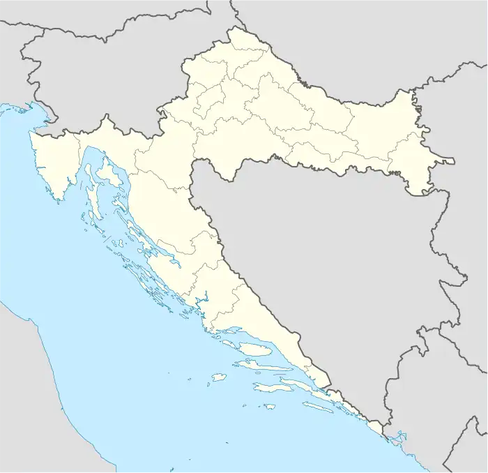
| County | Primorje-Gorski Kotar County |
| Municipality | Brod Moravice |
| Area | |
| • Total | 1.8 sq mi (4.6 km2) |
| Elevation | 1,529 ft (466 m) |
| Population (2021)[2] | |
| • Total | 193 |
| • Density | 110/sq mi (42/km2) |
| Time zone | UTC+1 (CET) |
| • Summer (DST) | UTC+2 (CEST) |
| Postal code | 51312 |
| Area code | 051 |
Donja Dobra is a village in the Gorski Kotar region of Croatia. The settlement is administered as a part of Brod Moravice municipality and the Primorje-Gorski Kotar County. According to the 2001 census the village has 190 inhabitants.[3] It is connected by the D3 state road.
Sources
- ↑ Register of spatial units of the State Geodetic Administration of the Republic of Croatia. Wikidata Q119585703.
- ↑ "Population by Age and Sex, by Settlements, 2021 Census". Census of Population, Households and Dwellings in 2021. Zagreb: Croatian Bureau of Statistics. 2022.
- ↑ "2001 census by settlement". Central Bureau of Statistics (Croatia) (in Croatian). March 31, 2001.
This article is issued from Wikipedia. The text is licensed under Creative Commons - Attribution - Sharealike. Additional terms may apply for the media files.